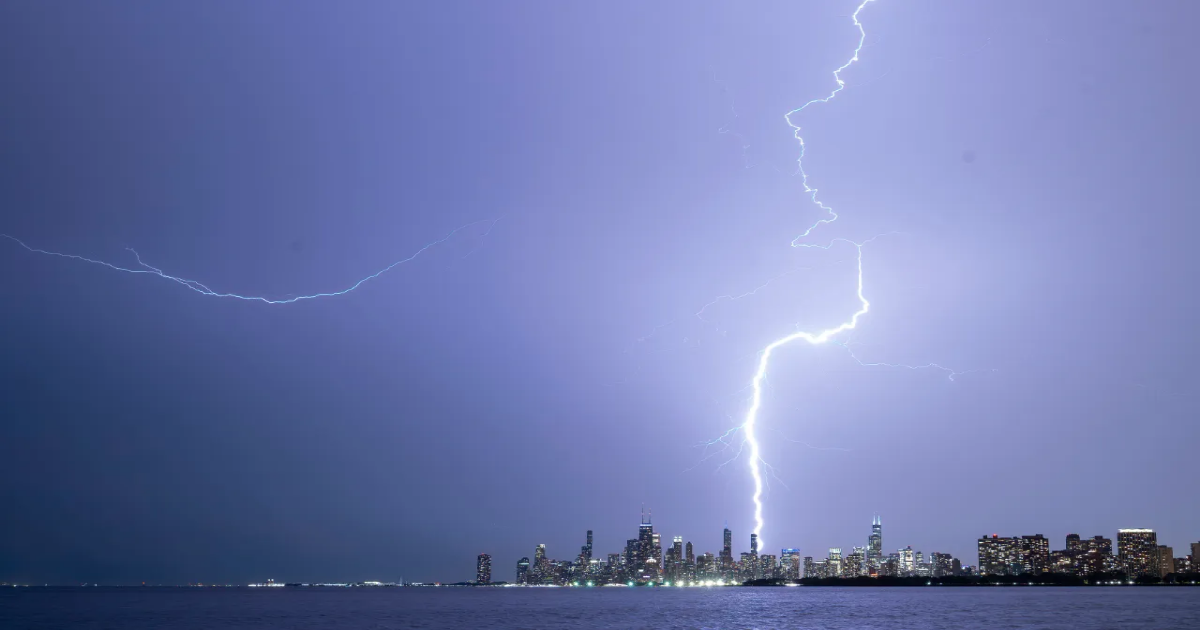
AUSTIN (KXAN) — A severe weather outbreak is brewing in the Upper Midwest, set to impact millions in the coming few days. There is the potential for intense tornadoes, straight-line damaging winds, and large hail.
On Monday, a level 4/5 moderate risk has been issued for portions of Iowa, Minneapolis, and Wisconsin. Major cities such as Minneapolis are in the ‘bullseye’ for severe weather.

A positive-tilted, upper-level trough is the textbook setup for widespread severe weather in the Plains and Midwest. This trough will interact with a strong southwesterly flow at the upper levels, producing strong wind shear.

BLOG: Explaining positive versus negative tilted troughs
Additionally, a dry line across the region will spark storm development through the Central Great Plains into North Texas.
LEARN MORE: Understanding the science and power of a supercell
The severe weather threat will continue through mid-week, impacting the Midwest and Northeast.
Beyond the next week, the Climate Prediction Center forecasts a ‘wetter than normal’ and ‘warmer than normal’ weather pattern across most of the country to kick off May.
Copyright 2025 Nexstar Media Inc. All rights reserved. This material may not be published, broadcast, rewritten, or redistributed.
