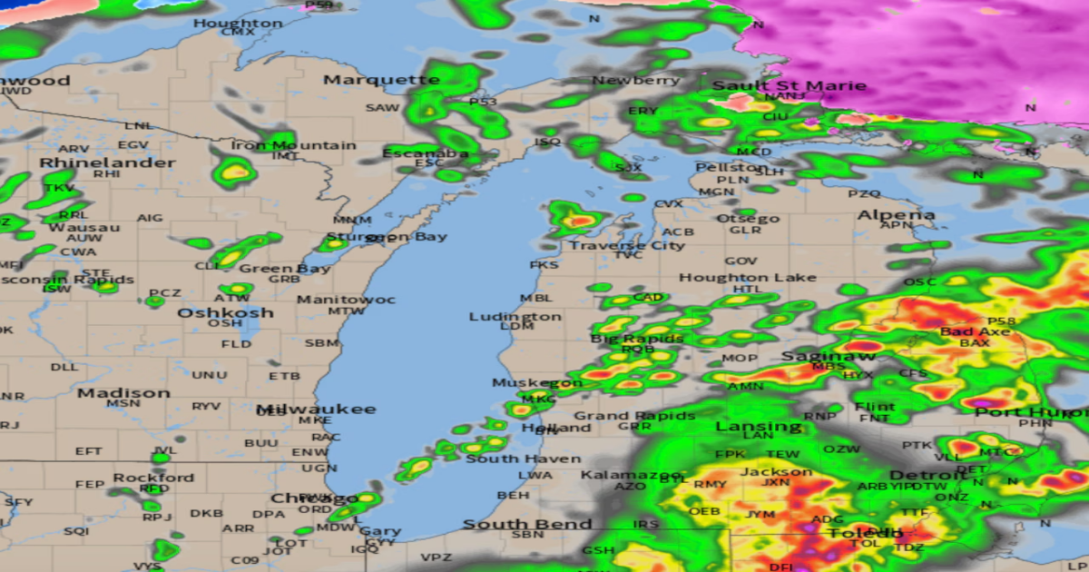
The cloudy conditions and showers through midday have caused a large shift southward in the significant severe weather area. We still have the worry of major severe storms in the southeast and far southern part of Lower Michigan. Central and southwest Lower now has a much lower chance of severe storms.
Remember early this morning I pointed out this was a “conditional” severe weather situation. If it stayed cloudy and showery during the heat building time of day we would have a lesser chance of widespread significant severe weather.
It has stayed very cloudy and quite showery, as I expected. As a result the Storm Prediction Center has now trimmed the northern edge of the significant severe weather forecasts. They usually wait to see what happens to the erosion of clouds by noon.
Here are their new forecasts as of 12:30 p.m.
In the wind gust forecast below there is still a 15 percent chance of scattered wind gusts in t-storms from southeast of Grand Rapids to Flint and southward. Notice the big adjustment in the 75 mph gust forecast denoted as a black hatched area. That area is now south of Michigan. This was a 100 mile southward adjustment to fit where sunshine is coming out in Ohio.

New damaging wind gust forecast for this afternoon and evening.NOAA
The tornado forecast really gives you the best idea of where the storms could still be very severe in Michigan. The five percent forecast from Coldwater to Saline to Detroit has a chance of tornadoes. This would be sometime between 7 p.m. and 10 p.m. There is still a two percent chance of an isolated, short-lived tornado over the southern half of Lower Michigan.

New tornado forecast for this evening keeps the five percent chance of a tornado south of a Coldwater to Saline to Detroit line.NOAA
You should still park your car in the garage as any storm could have large hail. It’s just that time of year here.
We are still not out of the worry of severe storms. It’s just a much lesser level of worry for most of Lower Michigan while far southeast Lower still has a fairly high chance of significant severe storms this evening.
Watch for more updates as the afternoon progresses. For now I think things are going the way I expected with clouds and rain dampening the severe storm threat for Grand Rapids, the entire Saginaw Valley area and to some extent Flint and Lansing.
Monitor MLive.com/weather for updates.