![]() By Cole Premo, WCCO Staff
By Cole Premo, WCCO Staff
Updated on: March 5, 2025 / 7:56 AM CST / CBS Minnesota
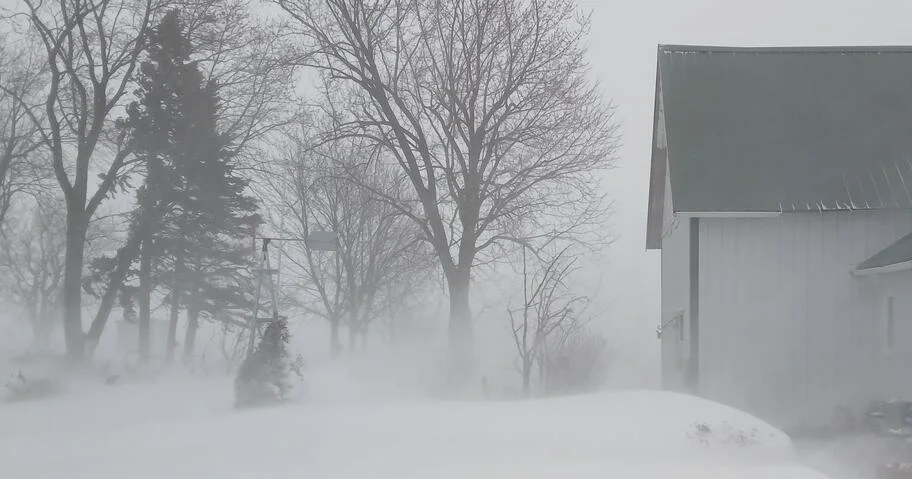
A spring snowstorm continues to drop plowable snow in the Twin Cities and other parts of Minnesota Wednesday morning, with some areas seeing 10 or more inches.
Due to the snow and accompanying strong wing gusts that are impacting visibility, WCCO has issued NEXT Weather and NEXT Drive alerts. Metro Transit has suspended all bus service due to road conditions, as has the Minnesota Valley Transit Authority.
Many Minnesota schools have also closed or gone virtual Wednesday due to significant snow and wind conditions.
But how much snow has fallen so far?
In the Twin Cities, nearly 7.5 inches of snow has already fallen as of 6 a.m., according to the National Weather Service. In Chanhassen, 6.5 inches is being reported. Just under an inch of snow has been reported in St. Cloud. In Wisconsin, about an inch has been reported in Eau Claire.
The largest snowfall totals so far are being reported in Elko New Market (11.5 inches as of 6:50 a.m.), Apple Valley (11 inches as of 7:10 a.m.) and Prior Lake (10.5 inches as of 6:10 a.m.).
According to reports from WCCO’s Weather Watcher Network, as much as 10 inches of snow has been reported in the east metro in St. Paul, near Woodbury. Just over 9 inches is being reported in North S. Paul, about 9 inches in Eagan and about 8 inches in Edina and Savage.
A few inches of snow is being reported in parts of the west and north metro, including Mound, Independence and Anoka.
See below for more snow total reports from the Weather Watcher Network.
The Twin Cities will be under a winter storm warning through 3 p.m. Wednesday, the NWS said. Farther south, a blizzard warning will be in effect. After Wednesday, the forecast turns warm and sunny, with highs in the 40s.
Cole PremoCole Premo is digital manager for CBS Minnesota. For more than a decade, he’s been covering breaking news and weather, daily topics, stories from the Native community and more in Minnesota.
© 2025 CBS Broadcasting Inc. All Rights Reserved.