A tsunami warning was issued for Papua New Guinea following a powerful 6.9 magnitude earthquake, the U.S. Geological Survey reported.
The tsunami warning was rescinded just after 7 p.m. ET on Friday.
The shallow quake struck early Saturday morning local time, hitting at a depth of 6 miles. The epicenter was located offshore, approximately 120 miles east of Kimbe, a coastal town on the island of New Britain.
In response, the USGS warned that waves between 1 to 3 meters could impact parts of Papua New Guinea’s coastline. A separate advisory was issued for the nearby Solomon Islands, cautioning of possible waves up to 0.3 meters.
There were no immediate reports of injuries or damage. New Britain, the country’s largest island in the Bismarck Archipelago, is home to just over 500,000 people.
Australia’s Bureau of Meteorology confirmed there was no tsunami threat to Australia, Papua New Guinea’s closest neighbor. New Zealand authorities also did not issue a warning.

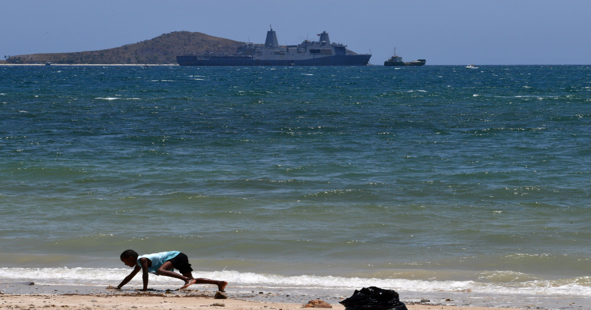
A boy plays on a beach in Port Moresby, Papua New Guinea on November 13, 2018. A boy plays on a beach in Port Moresby, Papua New Guinea on November 13, 2018. AFP/Getty Images
What is the Pacific ‘Ring of Fire’?
Papua New Guinea is located along the Pacific “Ring of Fire,” a seismically active zone known for frequent earthquakes and volcanic eruptions.
Covering nearly 25,000 miles, it includes countries such as Japan, Indonesia, the Philippines, Papua New Guinea, New Zealand, and the west coasts of North and South America. About 75 percent of the world’s active volcanoes and around 90 percent of all earthquakes occur along this tectonically active zone, where several major plates—including the Pacific Plate—constantly shift, collide and slide past one another.
This volatile geological region is formed by the movement and interaction of tectonic plates, especially subduction zones, where one plate is forced beneath another. These movements build up enormous pressure that, when released, causes powerful earthquakes and volcanic eruptions. Despite the dangers, the Ring of Fire is also home to hundreds of millions of people due to its fertile land, abundant natural resources and proximity to the coast.
Myanmar Earthquake Rescue Efforts Continue
Last week, a devastating 7.7-magnitude earthquake struck central Myanmar on March 28, 2025, resulting in over 3,300 deaths and thousands of injuries. The quake caused widespread destruction, particularly in Mandalay, where entire communities were flattened. Survivors and rescue workers are facing harsh conditions, exacerbated by extreme heat and anticipated unseasonal rains, raising concerns about potential disease outbreaks such as cholera and malaria.
Myanmar is not located directly on the Pacific “Ring of Fire,” but it is part of a highly seismic region known as the Alpide Belt or Himalayan seismic belt, which extends from the Mediterranean through the Middle East, the Himalayas, and into Southeast Asia.
Reporting by the Associated Press contributed to this story.
Update: 4/4/25, 5:43 p.m. ET: This article has been updated with additional information.
Update: 4/4/25, 5:49 p.m. ET: This article has been updated with additional information.
Update: 4/4/25, 6:20 p.m. ET: This article has been updated with additional information.
Update: 4/4/25, 7:20 p.m. ET: This article has been updated with additional information.
