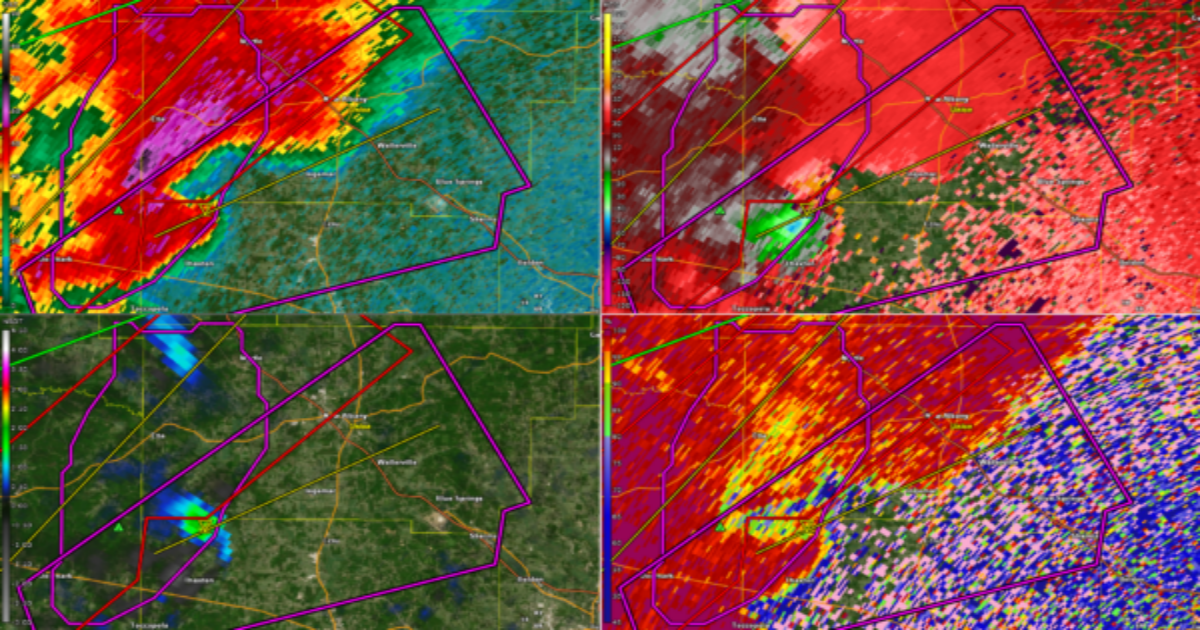
TORNADO WARNING (Particularly Dangerous Situation) for northern Pontotoc and central Union Counties in northern Mississippi.
At 6:35 PM, a confirmed large and dangerous tornado was located near Pinedale, moving northeast at 40 mph toward New Albany. This is a Particularly Dangerous Situation. Emergency management confirms a tornado on the ground. Take cover now. This is a life-threatening situation. Flying debris will be deadly to those without shelter. Mobile homes will be destroyed. Damage to homes, businesses, and vehicles is likely.
There is definitely a TDS on this storm.
Locations in the path include Ecru, Ellistown, Sherman, Pumpkin Center, Cherry Creek, Toccopola, Wallerville, Martintown, and New Harmony.
Do not wait to see or hear the tornado—get to shelter immediately.
Category: Alabama’s Weather, ALL POSTS, Severe Weather, Social Media
Page 2
 A confirmed large and dangerous tornado is moving toward New Albany in a Particularly Dangerous Situation — seek shelter immediately.
 A line of severe storms with embedded supercells is moving east toward Mississippi and Alabama, with increasing potential for damaging winds and isolated tornadoes—especially later this evening as low-level shear intensifies.
 Closely watching a line of severe storms over Northwest Mississippi at this hour. These storms will move into Northwest Alabama early this evening.
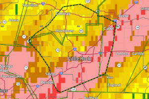 A Flash Flood Emergency has been declared for the Little Rock metro area—including Conway, North Little Rock, Cabot, and Jacksonville—where 8 to 12 inches of rain have already fallen, prompting road closures, water rescues, and life-threatening flooding; this is a particularly dangerous situation, and residents are urged to seek higher ground immediately and avoid all travel unless evacuating—turn around, don’t drown.
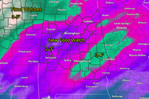 A Flood Watch is in effect for much of Central Alabama from tonight through Monday evening, with 2 to 4 inches of rain expected and the potential for flash flooding in vulnerable areas.
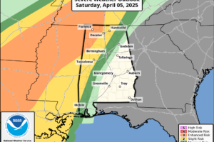 A volatile mix of near record warmth and rich Gulf moisture sets the stage for severe storms late tonight into Sunday for Alabama, with damaging winds, hail, and a few tornadoes possible.
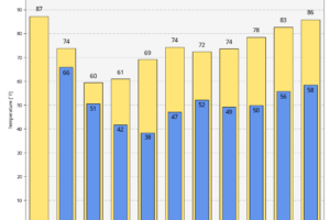 A weekend of extremes lies ahead with record heat giving way to a dangerous round of storms Saturday night into Sunday, followed by a dramatic cool-down and the potential for frost by midweek.
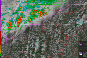 A volatile severe weather setup is unfolding from northeast Texas to middle Tennessee today, with supercells capable of producing very large hail, damaging winds, and strong tornadoes.
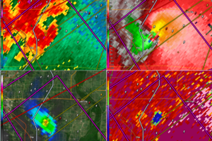 A massive tornado is moving into lake City, Arkansas at this time!
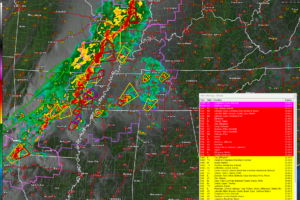 Strong to severe storms, including supercells capable of damaging winds and tornadoes, are expanding from the Mid-South into middle Tennessee and central Kentucky this evening, with a conditional threat continuing into northwest Alabama this evening.
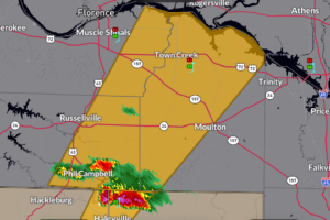 This is for the storm coming out of Marion and Winston Counties that produced dime sized hail at Haleyville. It will move over eastern Smith Lake and over the Bankhead Forest toward Landersville.
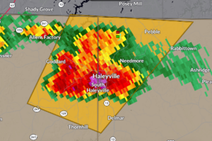 Most dangerous part of the storm is approaching Haleyville. It shows 1.5 inch hail which is the size of ping pong balls.
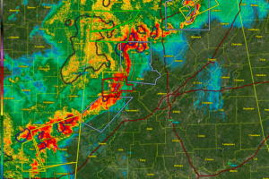 We are in the middle of our severe weather event for Alabama this morning. The threat will continue into the early afternoon.
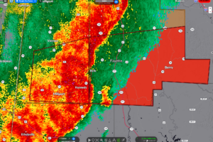 Dangerous storm pushing into southern Fayette county at this hour. It still has a couple of circulations. The most dangerous is just east of Kennedy and will pass south of Belk, Fayette, and eventually toward Berry.
