The risk of severe storms is increasing over the next several hours across eastern North Texas, the Brazos Valley, East Texas, and Northeast Texas. Activity is expected to be east of Interstate 35 shortly, which keeps the highest threat of severe storms east of the D/FW Metroplex.
Our first storms of the day have developed from Waco to Hillsboro and are moving east around 30 MPH. Additional development south into the Brazos Valley is anticipated over the next couple of hours. The most intense storms may produce very large hail, potentially the size of tennis balls, along with localized damaging wind gusts over 65 MPH. A brief tornado cannot be ruled out.
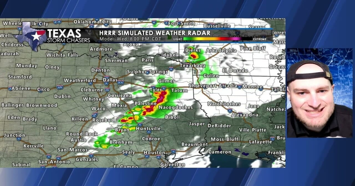
As storms continue to develop and move east after 7 PM, we anticipate a line to form, which may increase the threat of damaging wind gusts. The overall severe weather threat appears to be highest across the northern and eastern Brazos Valley, East Texas, and Northeast Texas from 6 PM through 11 PM.
After 9-10 PM, storms will begin to exit Texas into Louisiana. Until then, we will need to monitor the most intense storms for signs of significant hail, damaging winds, and possibly a brief tornado.
We will provide updates throughout the evening hours and, if necessary, live severe weather coverage on @TexasWeatherCenter/videos/upload, our website, and mobile app.
Check out our current LIVE STREAM: https://texasweather.video/
Our FREE WEATHER APP: https://texasweather.app/
GET ALERTED when in danger of severe storms and tornadoes! https://weathercallservices.com/tx-storm-chasers-nexgen
Our SOCIAL PLATFORMS: https://linktr.ee/texasstormchasers