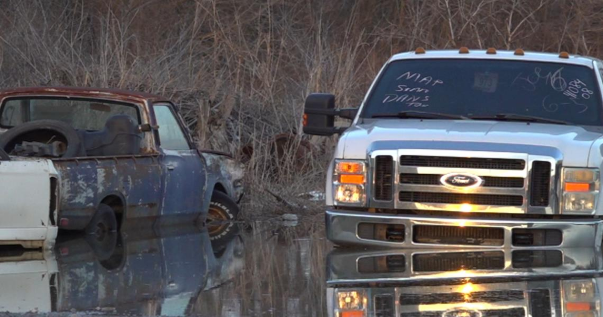
MEMPHIS, Tenn. — Numerous communities across the Memphis area are already seeing flood issues after storms this week dropped between one and two inches of rain.
Upcoming storms are expected to drop an additional six to eight inches through Saturday night, according to ABC24 Weather Impact Meteorologists.
A flood warning has been issued for multiple rivers throughout the Mid-South, including the Wolf River, Cumberland River and White River. The town of Arlington at the Loosahatchie River had the longest-lasting flood warning as of Friday morning, set to expire Monday afternoon.
Memphis is forecast to experience minor flooding from the Mississippi River in the coming days due to heavy rains in the area and to the north. The river is forecast to crest at 35.5 feet by April 15, according to National Weather Service data.
Meteorologists have compiled a list of the communities and river expected to have the worst flooding throughout the Memphis region.
A major flood warning has been issued for numerous communities in Arkansas on the White River west of Memphis, including Newport, Augusta, Georgetown, Des Arc and Clarendon. The warning is currently set to expire Friday at 8:30 p.m. and the river is expected to rise above flood stage early Saturday morning and continue rising before cresting at 38 feet Wednesday afternoon.
The community of Osceola, Arkansas, is also forecast to experience major flooding from the Mississippi River, although the NWS has yet to issue a flood warning for the community. River levels in Osceola are expected to reach the minor flood stage of 28 feet by Tuesday, and may continue to rise until it hits the major flood stage of 35 feet by April 14.
The Wolf River at Raleigh crested just below major flood stage Thursday night at 14.68 feet.
The Loosahatchie River at Arlington also stopped just short of hitting the major flood stage of 24 feet early Friday morning, and is forecast to stay within the moderate flood stage of above 22 feet through Monday.
To the south, a flood warning has been issued for the community of Sarah, Mississippi, near Coldwater River as the river may possibly reach a record-high flood stage of 25 feet on Sunday. The warning is set to expire Saturday morning, but may be extended depending on upcoming rainfall. Marks, Mississippi, on the Coldwater River and Tunica Mhoon Landing on the Mississippi River are also expected to hit moderate flood stage.
To the north, the Obion River is expected to cause moderate flooding in Tennessee communities of Obion and Martin. The NWS reports widespread flooding has impacted agricultural land, livestock and equipment in both communities. The Forked Deer River is also causing moderate flooding in Halls, Tennessee.
Numerous other communities throughout the Mid-South are either already experiencing or are likely to experience minor flooding in the coming days, including:
- Germantown, Tennessee, at the Wolf River
- Brunswick, Tennessee, at the Loosahatchie River
- Collierville, Tennessee, at the Wolf River
- Rossville, Tennessee, at the Wolf River
- Rialto, Tennessee, at the Hatchie River
- Bolivar, Tennessee, at the Hatchie River
- Jackson, Tennessee, at the Forked Deer River
- Rivervale, Arkansas, at the Right Hand Chute Little River
- Lake City, Arkansas, at the St. Francis River
- Palestine, Arkansas, at the L’Anguille River
- Etta, Mississippi, at the Little Tallahatchie River
- Dyersburg, Tennessee, at the Forked Deer River
- Bogota, Tennessee, at the Obion River
- Caruthersville, Missouri, at the Mississippi River
- Tiptonville, Missouri, at the Mississippi River
- St. Francis, Arkansas, at the St. Francis River
- Lambert, Mississippi, at the Tallahatchie River
- Locopolis, Mississippi, at the Tallahatchie River
- Swan Lake, Mississippi, at the Tallahatchie River
- Amory, Mississippi, at the Tombigbee River
- Bigbee, Mississippi, at the Tombigbee River
- Aberdeen, Mississippi, at the Buttahatchie River
