The warm & quiet pattern continues but we are watching the plume of wildfire smoke from NJ to NYC & over Long Island. Air Quality Alerts are up in those areas. Some of this smoke will come into Connecticut at times today, tonight & tomorrow with lower air quality possible. Rain in in the forecast for Saturday, but it could be on & off at times followed by a chilly wind for Sunday. Nice early next week!

Early this morning: Mainly clear. Some smoke in the air for SW CT & parts of the shoreline. Lows in the mid 40s to around 50.
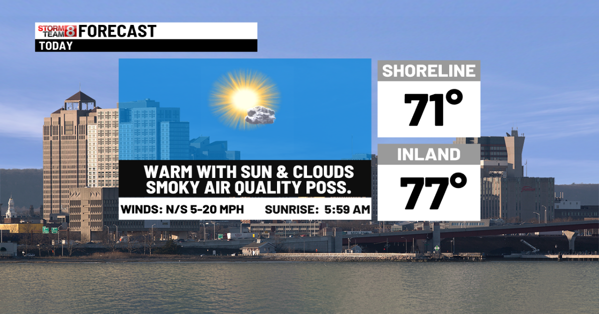
Today: High pollen count & fire danger. Sun & passing clouds with warm temperatures. Highs in the mid to upper 70s inland and cooler 60s along the shoreline. Some wildfire smoke could lower air quality at times from the large wildfire in NJ.


Tonight: Some lower air quality possible with smoke. A few passing clouds & lows 45-52.
Tomorrow: Morning sun to some late-day clouds. Some lower air quality due to wildfire smoke again. Highs in the upper 70s to low 80s inland and 65-70 at the shoreline.


Saturday: Rainy at times & windy with chilly temperatures. Highs 55-62.


Sunday: Lots of clouds & some sun with an isolated sprinkle, windy & cool. Highs in the upper 50s to middle 60s.
Monday: Mostly sunny with highs in the mid 60s to low 70s.
Tuesday: Sun & clouds. Highs 75-80.
Wednesday: Partly sunny, breezy, warm & more humid with some PM showers & storms. Highs in the mid 70s to low 80s.
Copyright 2025 Nexstar Media Inc. All rights reserved. This material may not be published, broadcast, rewritten, or redistributed.