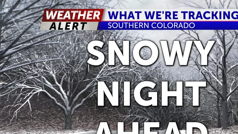
Tonight snow will be making its way across Southern Colorado. We will start to see snow here along the I-25 corridor by the evening time and then spread to Eastern Plains by tonight. We have multiple alerts out from the National Weather Service:
- There is Winter Storm Warning starting 7PM Monday and lasting until 3PM Tuesday due to heavy snow and gusty winds. We could see up to 12 inches of snow and gust up to 65 mph. This can cause blowing snow making it difficult to travel.
- There is a Red Flag Warning along the I-25 corridor and for the Eastern Plains starting until 7PM due to gust up to 55 mph and low humidity. A fire could start and spread quickly.
- There is a Winter Weather Advisory in effect until 11AM Tuesday due to 4 to 8 inches of snow and gust up to 60 mph which can cause blowing snow resulting in reduce visibility and difficulty traveling
- There is Blizzard Warning in effect starting at 7PM and lasting until 3PM Tuesday due to 4 to 10 inches of snow and gust as high as 70 mph.
- There is a High Wind Watch in effect along the I-25 corridor and the Eastern Plains from 2AM Tuesday until 5PM Tuesday 35 to 45 mph with gusts up to 70 mph.
The snow will continue into Tuesday. We will dry out along the I-25 corridor and Eastern Plains by the late afternoon/evening and the High Country Region will clear out by the late evening to night. Highs tomorrow will be in the 40s to 50s along the I-25 corridor. The High Country Region will see highs ranging from the 20s to 40s.
We will have the return of sunshine by the middle of the work week. Our highs will rebound slightly into the 40s to 50s for majority of Southern Colorado with the High Country having highs in the 30s.
For the second half of the work week snow and rain/snow chances will return to Southern Colorado. Highs will be in the 50s to 60s Thursday then fall into the 40s to 50s for Friday. We will have to monitor the system as it approaches.
We will have a dry but cool start to the weekend.