NOTE: This article has been turned into an almanac of Wednesday’s weather. We have published a new forecast/weather story for Thursday.
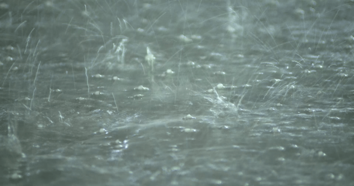
Multiple rounds of showers and thunderstorms swept through the Chicago area Wednesday, beginning in the early morning hours and continuing at times into the early afternoon, bringing drenching rainfall to some areas.
High winds caused some minor damage throughout the area and toppled tractor-trailers in Northwest Indiana. Several neighborhoods saw localized flooding.
Chicago’s Midway International Airport received at least 1.74 inches of rain. That’s a new record for the date, eclipsing the previous record of 1.67 inches set in 1983.
The persistent rainfall and extensive cloud cover worked over the atmosphere just enough and spared most of the area from seeing the redevelopment of powerful storms later in the day, despite a warm frontal passage and a gusty south wind that sent temperatures soaring into the low 70s Wednesday evening. The lone area to see strong/severe thunderstorms were areas well south and east of Chicago in sections of NW Indiana.
Official readings at O’Hare International Airport jumped from 53 degrees at 3 p.m. to 70 degrees by 6 p.m., a level nearly 30 degrees warmer than just 24 hours earlier.
Wednesday high temperatures across the nation’s heartland were some 10-20 degrees above normal for early April.
Allergy counts are courtesy of Allergist Dr. Rachna Shah and Loyola Medicine.
These counts will be provided each week-day through the end of September.
Full forecast details and more at the WGN Weather Center blog
🔴 Wednesday’s Weather Updates
Copyright 2025 Nexstar Media Inc. All rights reserved. This material may not be published, broadcast, rewritten, or redistributed.


